Services
We fly drones. Here’s what that actually means.
Survey-grade data for AEC. Cinematic work for brands. The same crews, the same standard, the right sensor for the question you’re asking.
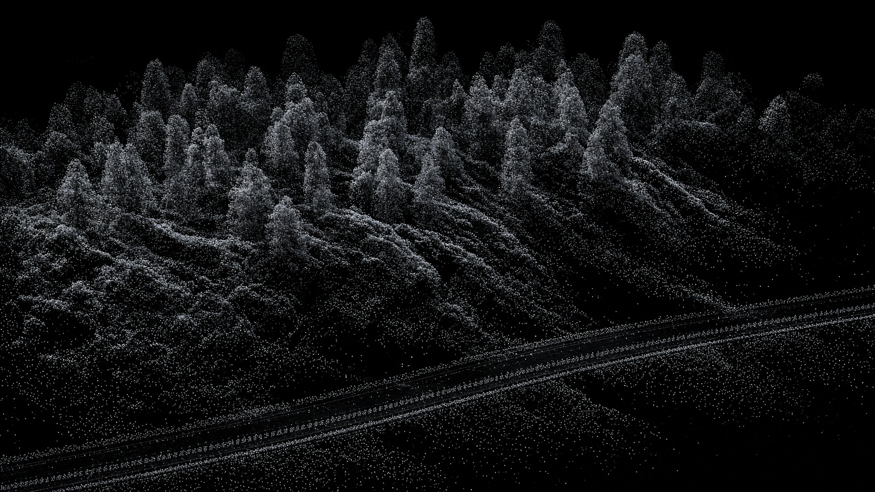
Light detection and ranging
LiDAR Data
Great advancements have come from the marriage of LiDAR and commercial drones. What was once only available via fixed-wing can now be flown with survey-grade precision.
- Topography data for landslides and landslips
- Topography data for vehicle streets
- Accurate measurements for roofs, buildings, and vertical structures
- Density, height, and circumference measurements of forests
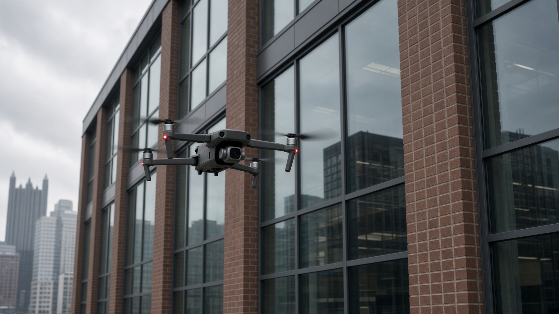
Inspections without the climb
Vertical Data
Buildings and telecom gain huge benefits from vertical inspections via commercial drones — employees stay on the ground, and the structure stays on record.
- Building fronts and facades four stories and greater
- Measurements of bricks, windows, and installed equipment
- Telecom inventory, condition, and measurements
- Safety inspections of wind turbines and equipment
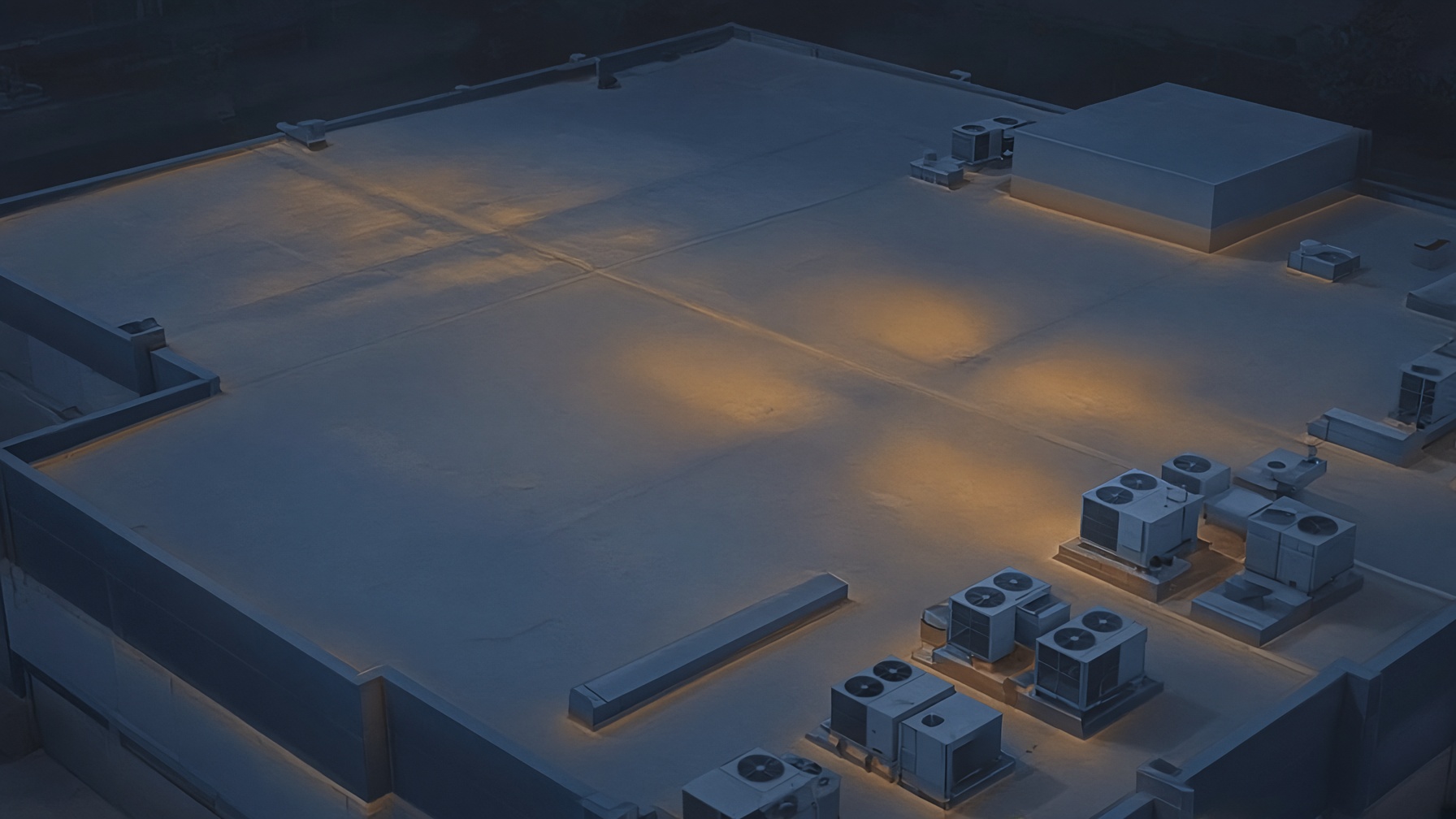
What the eye cannot see
Thermal Data
Thermography is not new. It is new to the drone industry. Scanning thermal signatures of an asset gives a clearer picture of condition and positioning — even when not normally visible.
- Roofing conditions including compromised rubber membranes
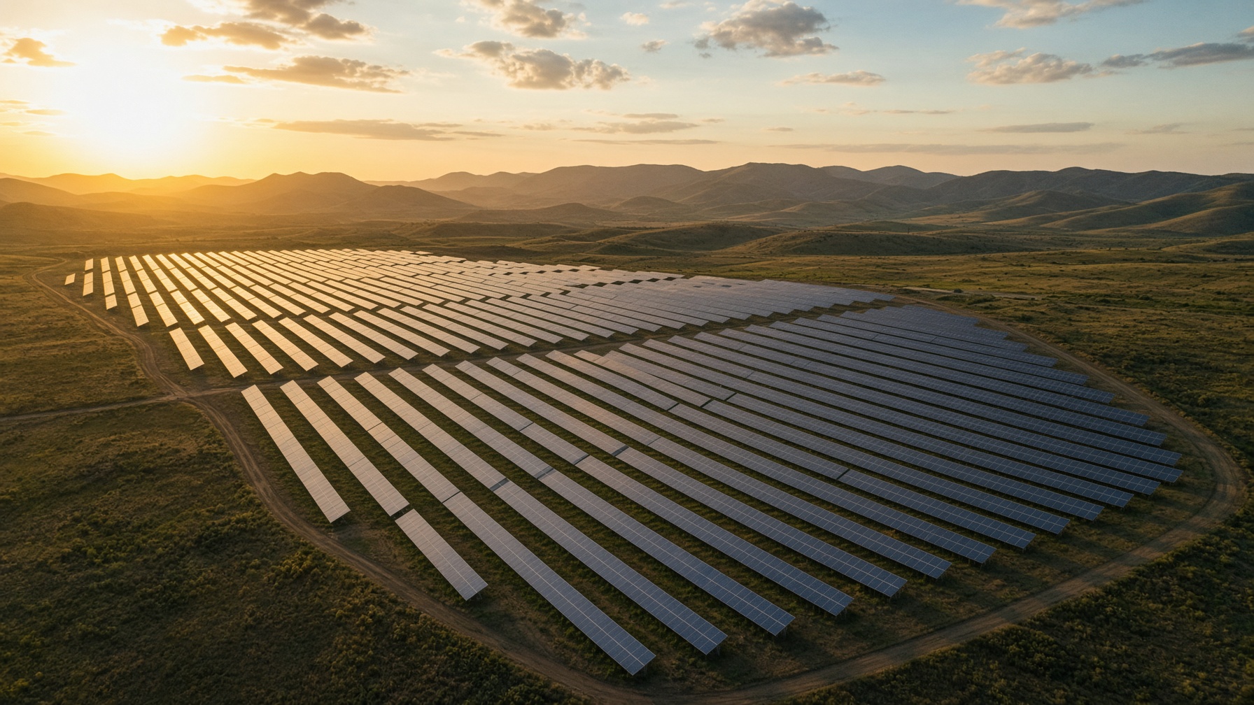
- Operability of solar panels to maintain performance and repair
- Concrete delamination and breakdown on bridge systems
- Tracking of water leakage from broken systems or from the earth
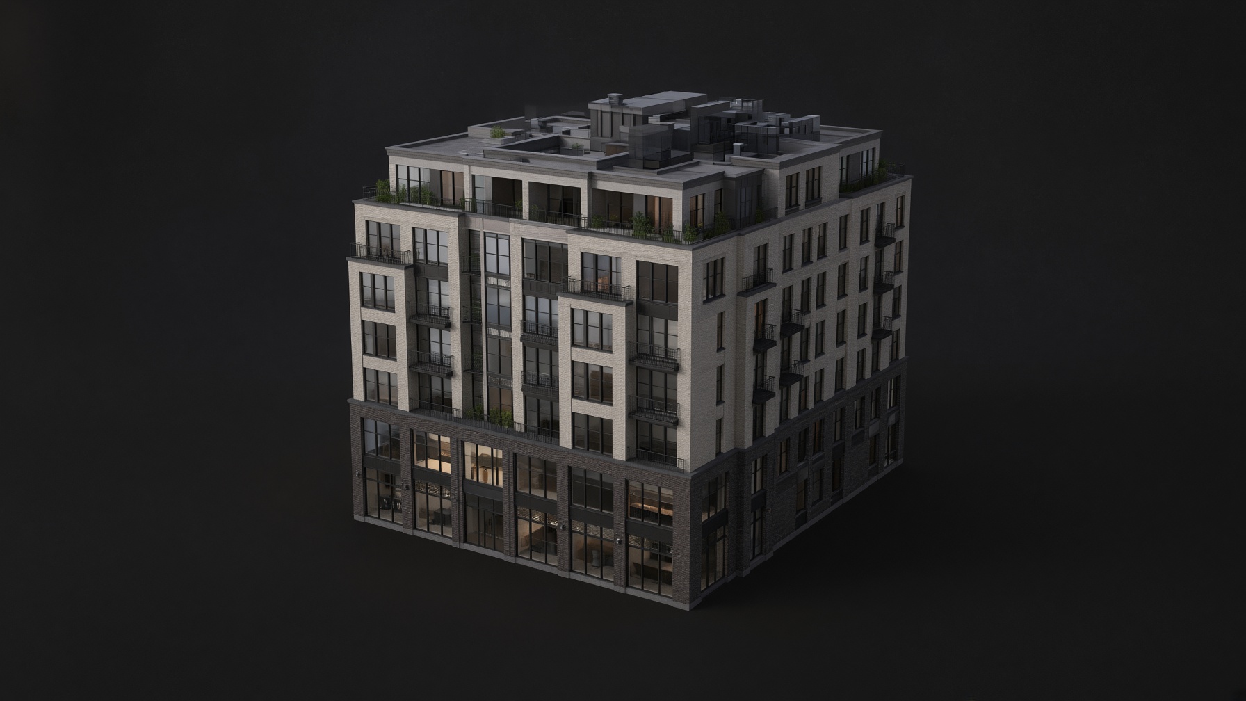
Digital twins, not just pictures
3D Modeling
Photos and video provide key information. Sometimes it is best represented in three dimensions. We combine datasets into detailed models you can measure, share, and explore.
- Building conditions for executives who cannot visit the site
- Bridging current conditions and add-ons of new projects
- Measurements of key items of interest inside the model
- Ability to remove the mesh layer and explore the point cloud
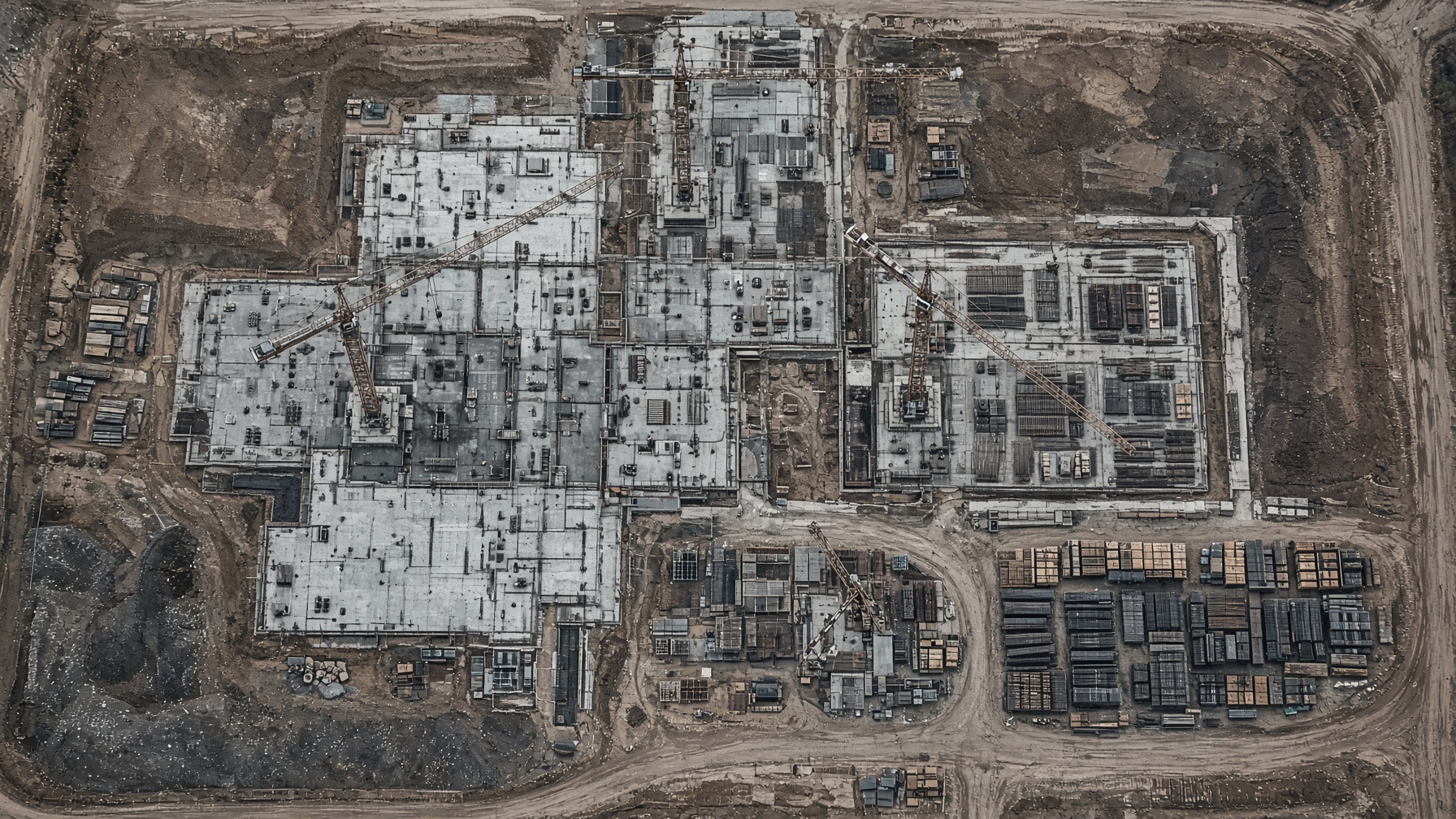
Know the site without standing on it
Progression Documentation
Knowing what is happening on your project site can mean the difference between saving or spending money on costly rework. Daily, weekly, or monthly — we keep every stakeholder current.
- Executive updates on what has actually been completed
- Photo verification of subcontractor invoices
- Near-live data for general contractors and safety managers
- CAD overlays to surface bottlenecks before they cost budget
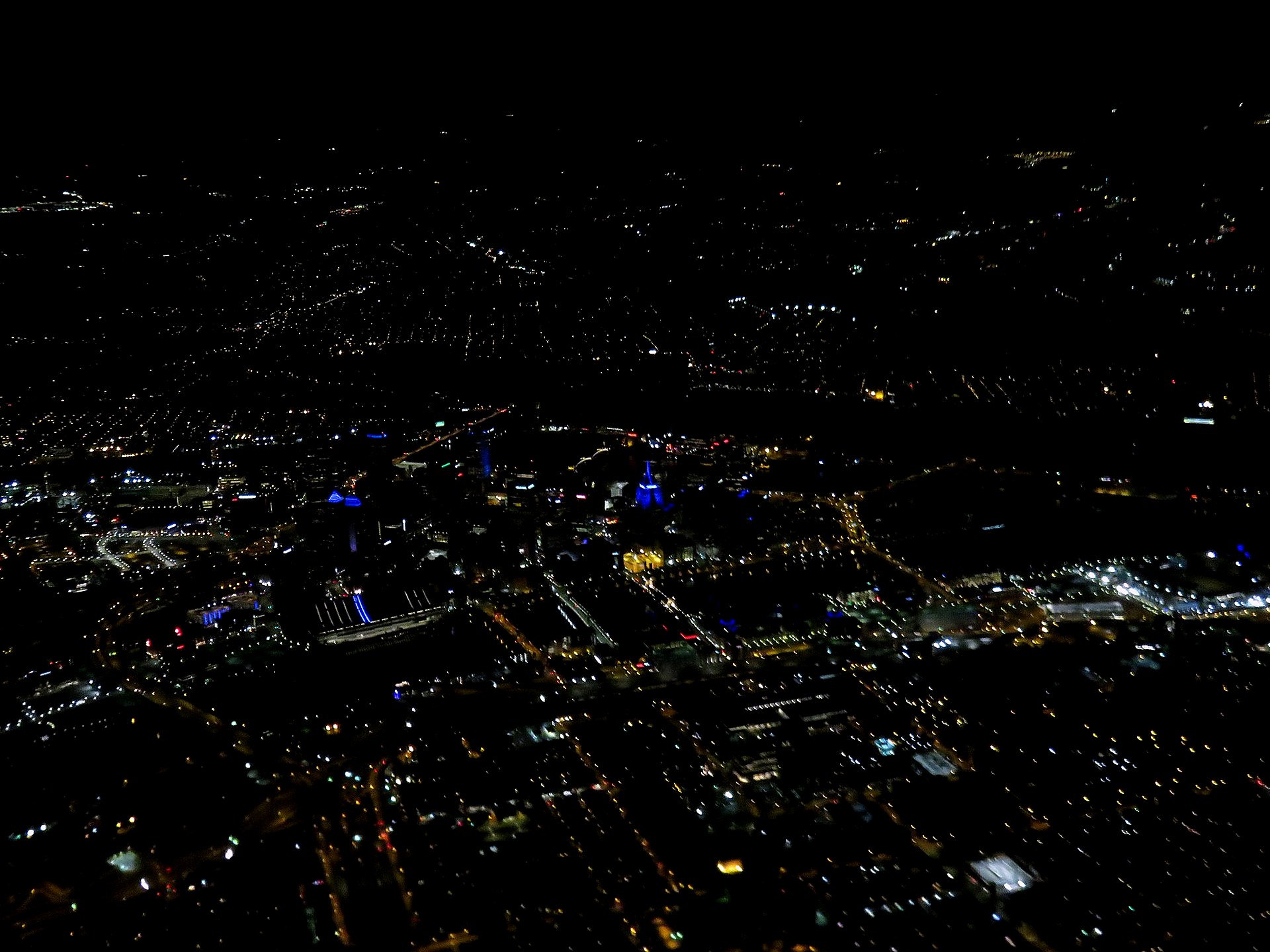
A new point of view
Brand Awareness
How many times have you watched a video about a business and held the edge of your seat? Imagine that with the benefit of altitude. Killer marketing can make or break a business.
- Milestones worth celebrating from the air
- Social media that actually expands exposure
- Award and accomplishment films that feel earned
- PR realignment when the story needs a new frame
Your competition is using us. Why aren’t you?
From rooftops to riverboats, we collect the data — and the footage — that changes the conversation.