AerdiA

The fleet

Aircraft. Payloads. Ground truth.

Every job is matched to a platform. We don’t bring a camera when the site needs LiDAR — and we don’t fly a heavy-lift hexacopter to make a thirty-second film.
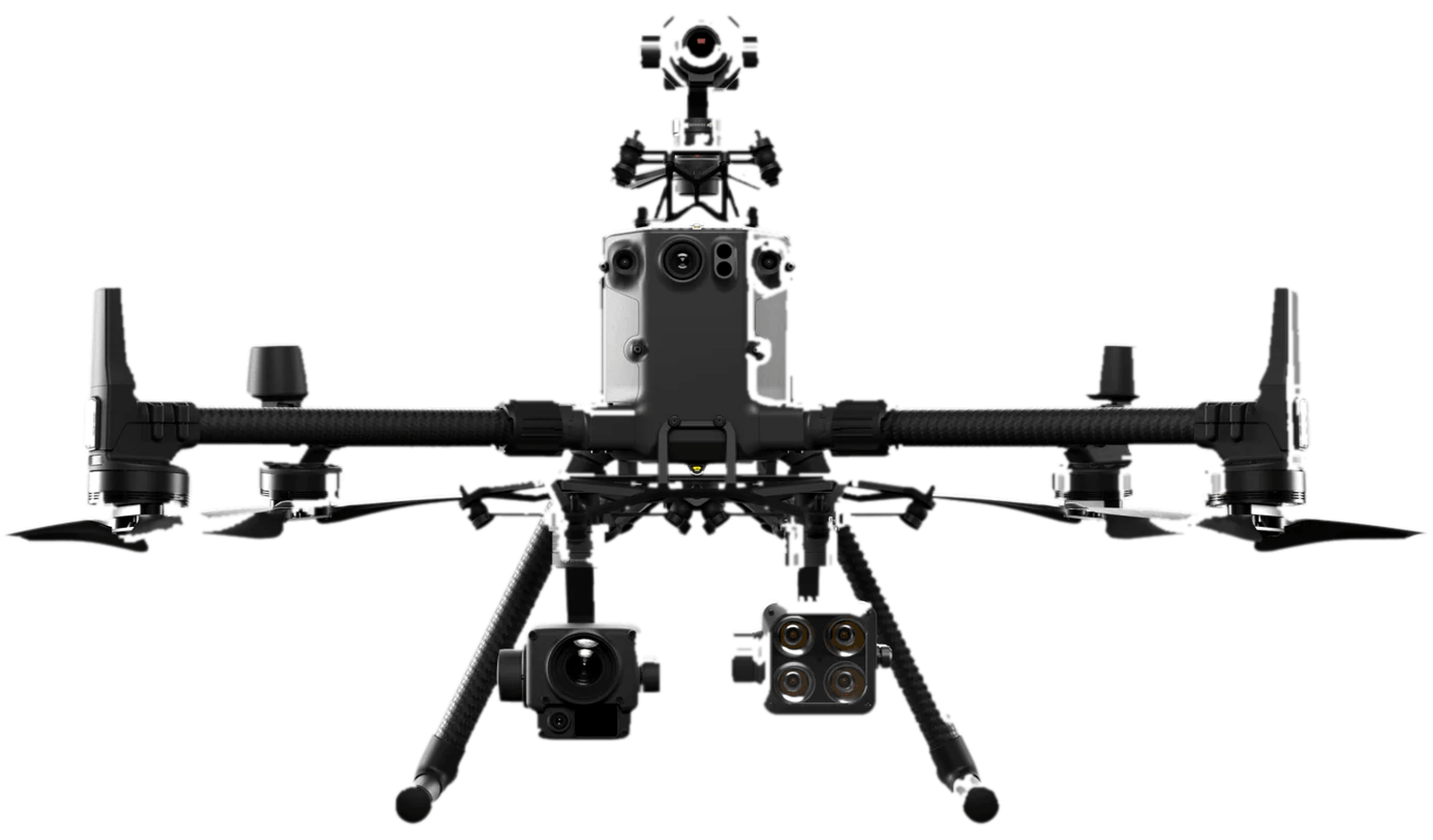
DJI M300 RTK

Aircraft

DJI M300 RTK

LiDAR · Thermal · Photo · Video

The flagship airframe. Long endurance, survey-grade positioning, and a payload bay that carries our most serious sensors.

  • Geosun GS-100C LiDAR Kit
  • Sony A6000 RGB Camera
  • DJI XT2 Thermal Camera
  • DJI P1 RGB Camera

51mph

Top speed

55min

Flight time

45MP

RGB photos

UGCS

Planning
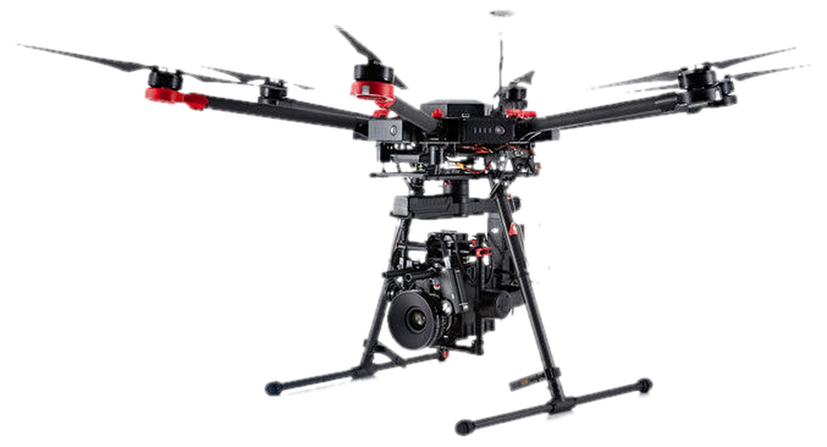
DJI M600 Pro

Aircraft

DJI M600 Pro

LiDAR · Thermal · Photo · Video

A heavy-lift hexacopter built to carry LiDAR and full-frame cameras all day. The workhorse when the payload is the point.

  • Geosun GS-100C LiDAR Kit
  • Sony A6000 RGB Camera
  • DJI XTR Thermal Camera
  • DJI X3 RGB Camera

40mph

Top speed

25min

Flight time

24.3MP

RGB photos

UGCS

Planning
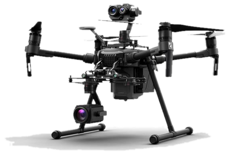
DJI M210 v1

Aircraft

DJI M210 v1

Thermal · NDVI · Photo · Video

Dual downward gimbals, an upward gimbal for the underside of bridges, and self-heating batteries for cold-weather ops.

  • Dual downward gimbals / single downward gimbal
  • Single upward gimbal — inspect under bridges
  • Various third-party sensors
  • Self-heating batteries for cold weather

51.4mph

Top speed

27min

Flight time

20–24MP

RGB photos

UGCS

Planning

Payloads

The sensors that make the data.

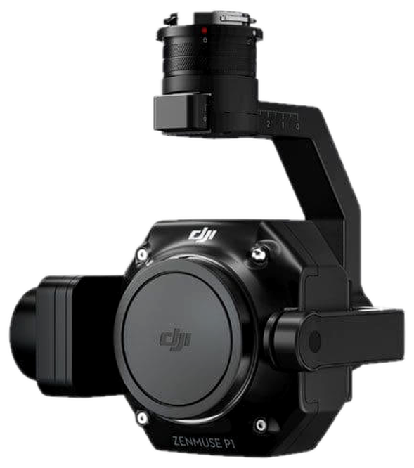
DJI Zenmuse P1

Photogrammetry sensor

DJI Zenmuse P1

  • Full-frame sensor
  • 45 megapixel RGB photos
  • 4K 60 FPS video
  • 3 cm horizontal / 5 cm vertical without GCPs
  • 3-axis gimbal
  • Photo every 0.7s in flight
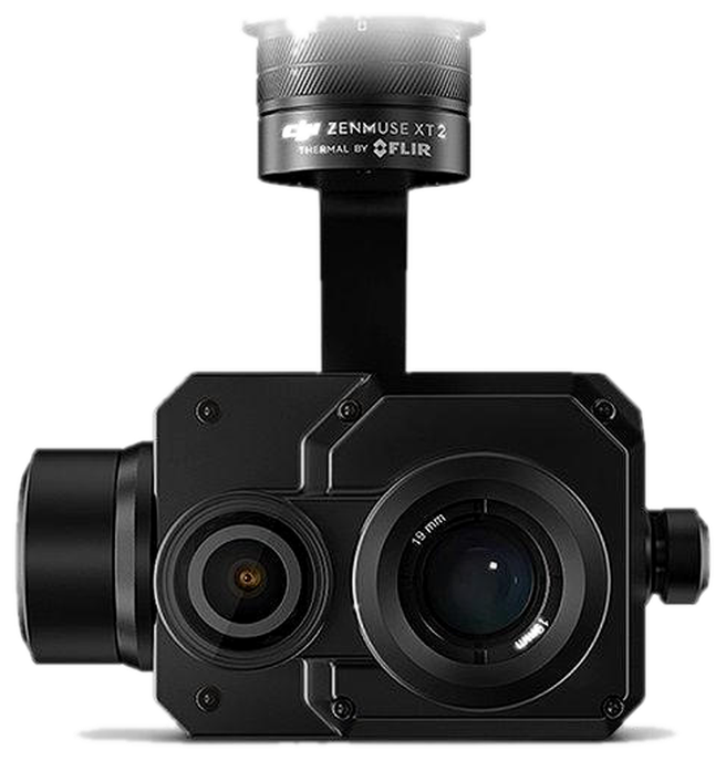
DJI Zenmuse XT2

RGB / thermal sensor

DJI Zenmuse XT2

  • 13mm thermal sensor
  • 640 × 512 thermal resolution
  • 12 megapixel RGB photos
  • 4K 30 FPS video
  • 3-axis gimbal
Geosun GS-100C

LiDAR sensor

Geosun GS-100C

  • Livox Avia LiDAR sensor
  • 70° field of view, 200m range
  • Triple echo, 720,000 points/sec
  • PPK-enabled dual-frequency GPS
  • Sony A6000 24 MP RGB camera
  • 5–8 cm X, Y, Z accuracy
  • 140 pts/ft² laser density
  • On-site data review, all-day battery
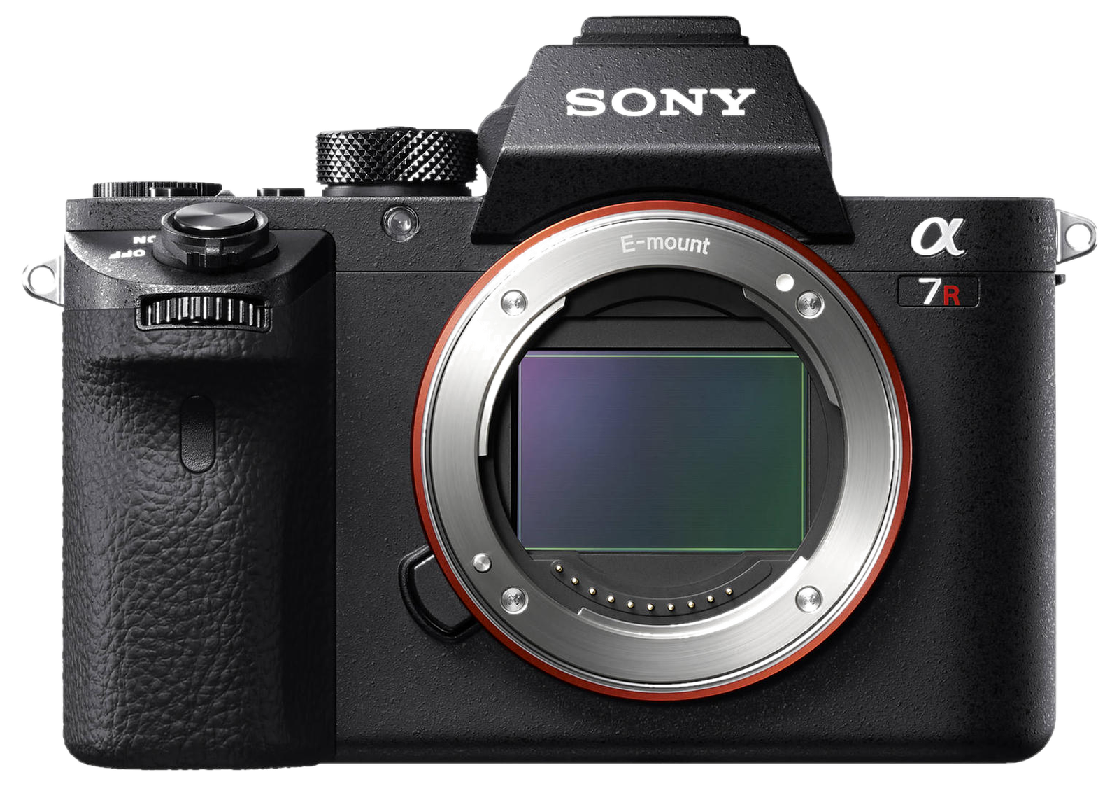
Sony A7R II

Photo | Video

Sony A7R II

  • 42.4 megapixel georectified photos
  • 4K (3840 × 2160) full-frame video
  • 18mm and 35mm lenses
  • Full-frame camera sensor
  • 5-axis image stabilization
DJI Zenmuse X4S

Photo | Video

DJI Zenmuse X4S

  • 1-inch sensor
  • 20 megapixel RGB photos
  • 4K 60 FPS video
  • 3-axis gimbal
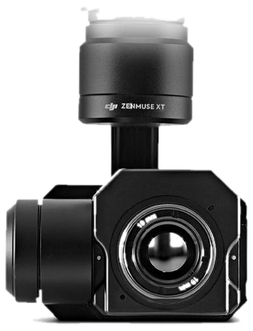
DJI Zenmuse XTR

Thermal photo | thermal video

DJI Zenmuse XTR

  • 640 × 512 resolution
  • 13mm lens
  • −40° to 1022°F scene temperature range
  • 3-axis gimbal
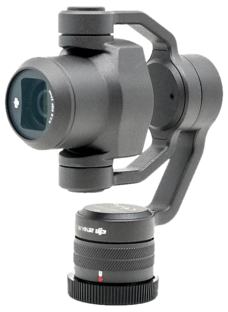
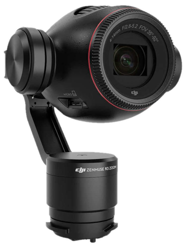
DJI Zenmuse X3

Photo | Video

DJI Zenmuse X3

  • 1/2.3-inch sensor
  • 12.4 megapixel RGB photos
  • 4K 25 FPS, 1080p 60 FPS
  • 3-axis gimbal

Ground equipment

Control. Process. Repeat.

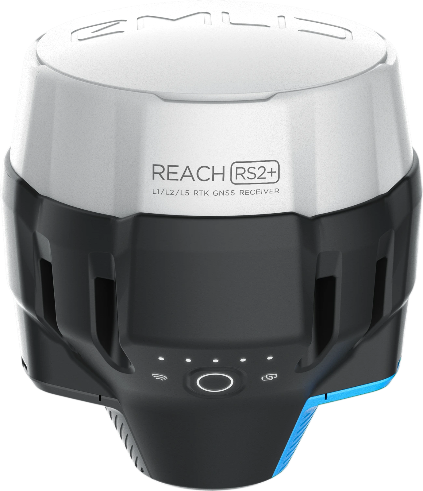
Emlid Reach RS2

GNSS GPS base and rover

Emlid Reach RS2

  • Tracks 184 channels
  • GPS/QZSS, GLONASS, BeiDou, Galileo
  • Rugged, waterproof, submersible, IP67
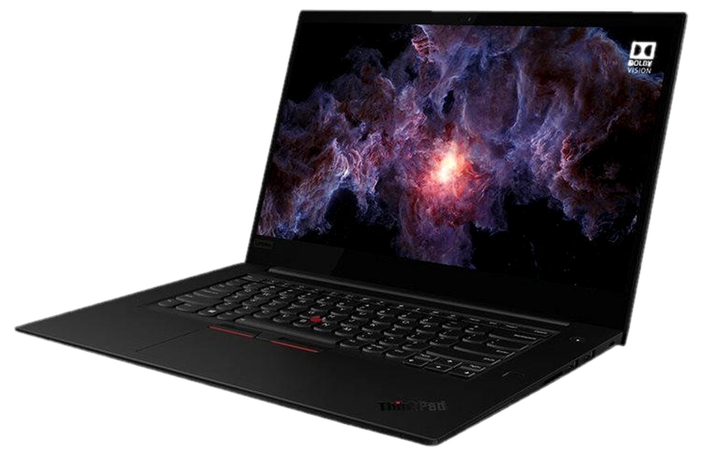
Lenovo ThinkPad X1 Extreme Gen 3

Flight planning | data processing

Lenovo ThinkPad X1 Extreme Gen 3

  • Windows 10 Pro, Intel Core i7-10750H
  • 64 GB RAM, 500 GB SSD
  • Adobe Creative Suite, UGCS, Global Mapper
  • Geosun LiDAR Suite, LiDAR360, Pix4D

The right ship for the job.

Tell us the site. We’ll match the aircraft, the sensor, and the deliverable.